Magmatic Copper Mine
Visited this site in June of 2012. The mine is located just outside of Superior, Arizona and is one of many abandoned copper mines in the area. Its a very easy trek in as there is a dirt road passable by car about 1/2 mile away. There is a road off the main road leading to the mine, but is has been bermed off. The mine is fairly easy to find from the tailing piles. The lowest area is the horizontal tunnel and directly vertically up the hill are the older vertical shafts.
Info from MinDat.org :
A group of 7 Mn-Au-Ag-Fe claims located in sec. 14, T2S, R12E, in the low-lying hills at the base of the westerly slope of Apache Leap (W of highway 177 [Superior-Ray Road]), about 2 miles South of Superior, at 3,000 feet of altitude. Owned by the Magmatic Copper Co. (1930). The claims extend into secs. 11 & 15.
Rocks exposed are quartzite, limestone, diabase and dacite. The quartzite forms the base of the series, and it is overlain by several hundred feet of massive limestone. A large mass of diabase is intruded into the limestone on the East sideof the claim group. South of the working shaft, between 2 faults, is an area of dacite identical with the rock forming the drest of Apache Leap. The sedimentary rocks strike about North and dip 35ºE. A prominant Northward-trending fault can be traced for several thousand feet on the claims. It cuts the limestone and South of the shaft, brings dacite into contact with the limestone.
Mineralization is manganese deposits that occur in the fault fissures or along bedding planes of Escabrosa Limestone adjacent to the faults. Lenses of manganous iron ore a few feet long occur along the faults, associated with silicified limestone and jasper. They dip 40W and are 3.05 meters thick.
Material from the working shaft is granular and dark brown and crumbles to a powder on exposure to air. Fresh pieces show specks and narrow seams of manganese oxides in the predominantly reddish-brown iron oxides. Many pieces show partly decomposed, coarse crystals of a brownish spar which may be manganous siderite.
Area structures include a minor N-S fault at the south end of the Concentrator Fault System; N-S-trending fault systems; N-S-trending sediments with a E dip; and various E-W-trending faults.
Workings include a 130 foot deep shaft and several older shafts at 50, 80 & 100 feet deep, respectively, and a 100 foot long tunnel.
Pictures from the Trip:
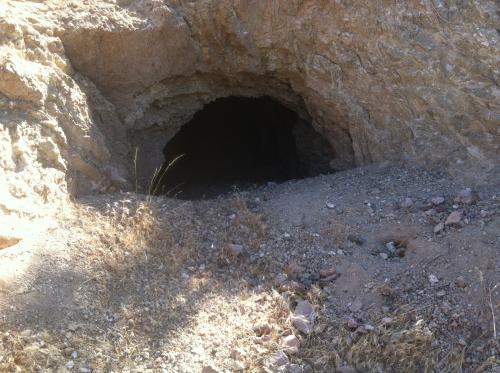
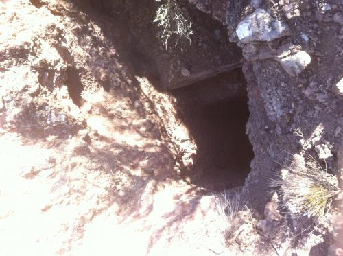
Horizontal shaft entrance
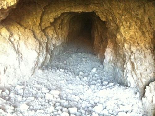
Looking into the horizontal shaft (Approx. 100ft long)
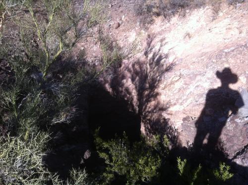
Looking down 130ft vertical shaft
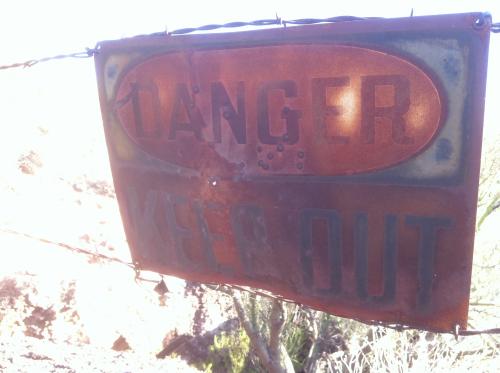
Sign on fence around 130ft vertical shaft
Looking down 130ft vertical shaft
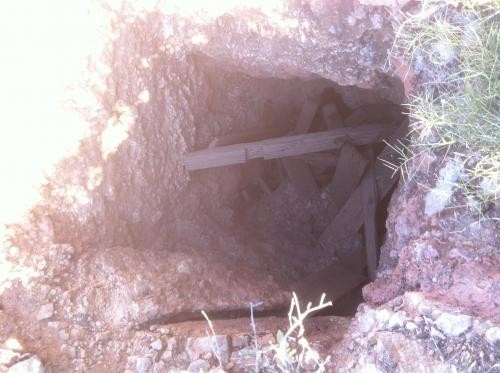
Wood in 50ft vertical shaft
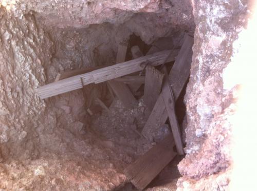
Close up of wood in 50ft vertical shaft
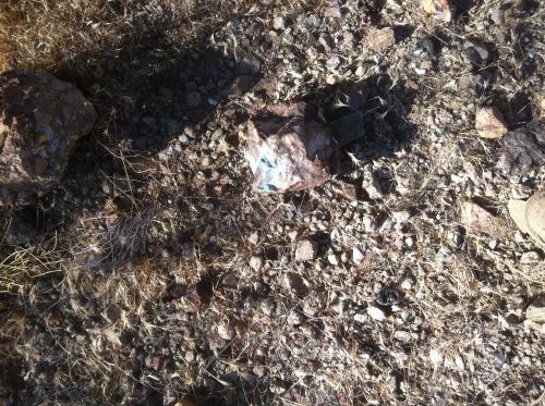
Copper found among tailings
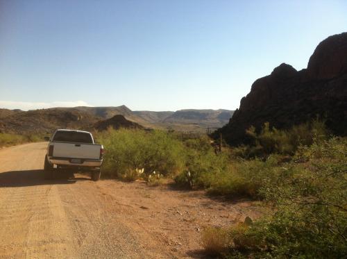
Truck parked on road in
Tags: abandoned, arizona, copper, explore, magmatic, mine, superior, visit
Wednesday, June 27th, 2012 at 17:51 • Trips • RSS 2.0 feed • leave a response or trackback